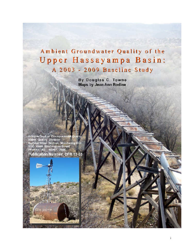
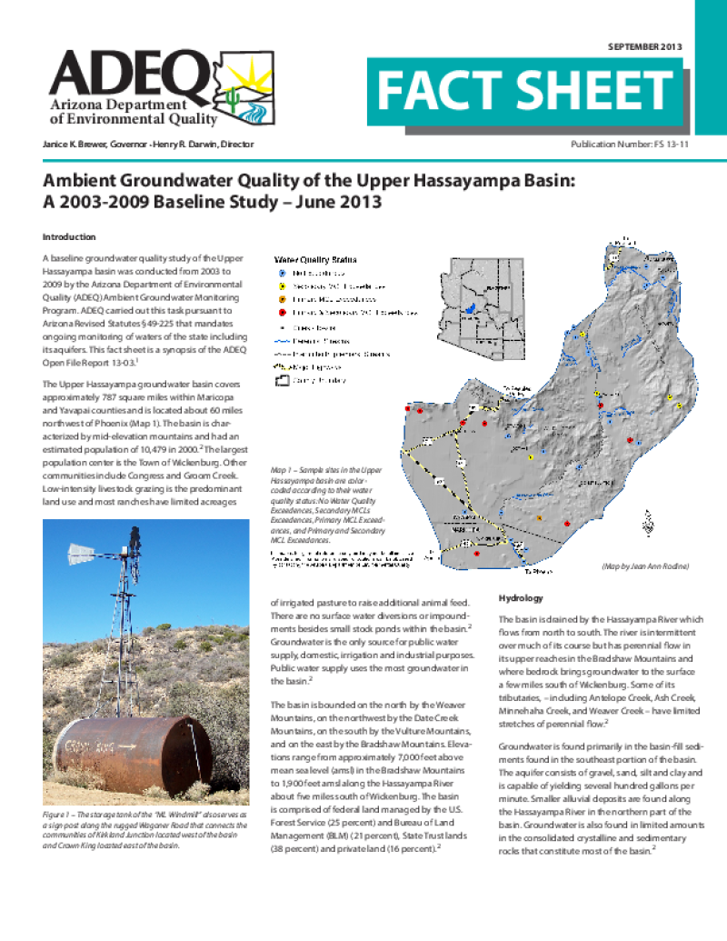
The Upper Hassayampa groundwater basin covers approximately 787 square miles within Maricopa and Yavapai counties and is located about 60 miles northwest of Phoenix. The basin is characterized by mid-elevation mountains and had an estimated population of 10,479 in 2000. The largest population center is the Town of Wickenburg. Other communities include Congress and Groom Creek. Low-intensity livestock grazing is the predominant land use and most ranches have limited acreages of irrigated pasture to raise additional animal feed. There are no surface water diversions or impoundments besides small stock ponds within the basin. Groundwater is the only source for public water supply, domestic, irrigation and industrial purposes. Public water supply uses the most groundwater in the basin.

Included in this item (2)
Upper Hassayampa Basin - 2003-2009 Baseline Study
Upper Hassayampa Basin - 2003-2009 Fact Sheet
Details
- Ambient Groundwater Quality of the Upper Hassayampa Basin: A 2003-2009 Baseline Study
- Towne, Douglas Clark (Author)
- Arizona. Department of Environmental Quality (Publisher)
- Identifier ValueENQ 5.2:A 51 H 17
- Identifier ValueENQ 1.3:F 12/13-11
- Open-file report (Arizona. Department of Environmental Quality) ; 13-03
- Fact sheet (Arizona. Department of Environmental Quality) ; FS 13-11